

Inertial/GPS guidance pairs a ballistic missile's self-contained inertial navigation system (accelerometers and gyroscopes tracking its own acceleration and rotation from launch) with periodic fixes from GPS or another satellite constellation such as GLONASS or NavIC. The satellite fix corrects the small errors an inertial platform accumulates over several minutes of flight, so the missile still reaches its aim point despite sensor drift. Pure inertial guidance has no outside reference at all, immune to jamming but steadily less accurate the longer the flight lasts. Radar or optical terminal guidance, the route most Cold War programs used instead of satellites, corrects the inertial estimate only in the final seconds rather than continuously.
Inertial/GPS guidance is now the default mid-course method for most modern land-attack ballistic missiles, from systems built by India, Pakistan, and Turkey to shorter tactical missiles fielded across the Middle East. Circular error probable, the radius within which half of all shots land, has fallen from hundreds of meters to single digits over four decades.
01From Cold War Inertial Platforms to GPS-Corrected Precision
The Soviet RSD-10 Pioneer (NATO code name SS-20), fielded from 1976, shows the pure-inertial starting point. Its gyro-stabilized platform and onboard computer worked entirely off internally sensed motion, with no external link so NATO jamming could not touch it. The tradeoff was accuracy, a circular error probable of roughly 450 to 550 meters.1 America's Pershing II, fielded in 1983, instead added a radar area correlation system active in the final seconds of flight, cutting its error to around 30 meters without any satellite involved.2
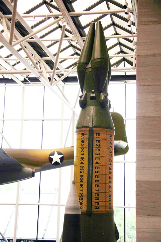
GPS became usable for missile designers only once the American satellite constellation reached adequate coverage in the 1990s. RAND Corporation researchers found that aiding an inertial platform with a well-timed GPS fix could sharpen accuracy by roughly 20 to 25 percent over an equivalent pure-inertial system, pushing GPS aiding into mainstream missile design over the following decade.3
Inside a modern inertial/GPS package, accelerometers and gyroscopes measure the missile's acceleration and rotation many times a second, and the guidance computer integrates that data into a running position estimate that compounds error over time. An intercontinental missile flying roughly thirty minutes can drift on the order of 100 meters from inertial sensing alone.6 The GPS receiver breaks that drift cycle by computing an independent fix and feeding the correction back before further error accumulates.

Newer platforms pair this loop with a ring laser gyroscope, a sensor with no moving parts that measures rotation from the interference of two laser beams circling a closed loop. India's Agni-II combines a ring laser gyroscope platform with GPS correction for a reported circular error probable near 40 meters.7 Its successor Agni-P carries a dual redundant version with an optional GPS or NavIC fix, reportedly under 10 meters.5 An extended-range Agni-II Prime tested in December 2010 validated the same approach at longer range, though that first flight failed from a control fault shortly after launch.8
Turkey's Roketsan reports a similar sub-10-meter figure for the GOLIS suite on the Cenk missile, steered through mid-course flight by a combined inertial and satellite platform before a maneuverable reentry vehicle handles the final terminal correction.4
01GPS Jamming, Spoofing, and Inertial-Heavy Backup
GPS correction carries a real vulnerability because it depends on an external radio signal, weak after traveling roughly 20,000 kilometers, easy to drown out with a closer jammer or imitate with a spoofer feeding false position data. The war in Ukraine has produced open reporting of exactly this, with jamming and spoofing measurably diverting Russian missiles and glide bombs off target, in some cases into empty fields.9

Missile designers respond by keeping the inertial platform as the resilient primary system rather than leaning on the satellite fix for more than periodic correction. Pakistan's Ababeel relies on an inertial package for each independently targetable warhead, though analysts note its accuracy against dispersed targets is constrained by dependence on China's BeiDou system.10 Israel's Jericho II instead pairs inertial guidance with an active radar terminal system needing no outside signal in its final seconds, an architecture chosen before GPS was realistic and kept since.11
Iran's Kheibarshekan takes a third route, combining satellite-aided inertial navigation with a maneuvering reentry vehicle that adjusts its own path during descent, improving accuracy and complicating interception whether or not the satellite fix stayed available earlier in the flight.12
01Notes and Sources
- "RSD-10 Pioneer", Wikipedia — en.wikipedia.org ↩
- "Pershing 2", Missile Threat (CSIS) — missilethreat.csis.org ↩
- "GPS-Aided Guidance for Ballistic Missile Applications: An Assessment", RAND Corporation — rand.org ↩
- "Turkey's New Super-Sized Ballistic Missile Reflects Global Trends", The War Zone — twz.com ↩
- "Agni-P", Wikipedia — en.wikipedia.org ↩
- "Military Applications of INS Technology, Precision in GPS-Denied Environments", PNI Sensor — pnisensor.com ↩
- "Agni-II", Missile Threat (CSIS) — missilethreat.csis.org ↩
- "Agni-4", Missile Threat (CSIS) — missilethreat.csis.org ↩
- "How Spoofing Is Diverting Russian Missiles Into Empty Fields", Forbes — forbes.com ↩
- "Ababeel", Missile Threat (CSIS) — missilethreat.csis.org ↩
- "Jericho 2", Missile Threat (CSIS) — missilethreat.csis.org ↩
- "Kheibar Shekan Missile, Iran's Third-Gen Ballistic Powerhouse", DefenseFeeds — defensefeeds.com ↩


